

With the formal land title transfers from Grandmother to my uncles and mother successfully completed, the next logical milestone was clear: establishing the exact boundaries of the land. I intended to fund this myself, while asking my family to extend their rental agreement for another two to three years to make the effort worthwhile.
Reactions varied, as they often do in family projects. Pak Ngah Ghazali didn’t seem to take it very seriously, casually suggesting we could hire part-time surveyors to do the job on the cheap. Pak Long Latiff, true to form, was agreeable to whatever we decided.
To get the ball rolling, I enlisted my sister Jasmin, offering her a bounty of RM10 for every official quotation she could secure. True to her word, after a few weeks, she presented two options, both based in Seremban. One was an older, traditional firm; the other was a modern agency with a Gen-Z contact. The older firm was sluggish on emails and WhatsApp but picked up phone calls immediately, whereas the Gen-Z team was lightning-fast on WhatsApp and meticulously detailed.
I asked my father to visit their offices to get a better sense of their operations. Through these visits, a critical limitation came to light: their standard service fee—running upwards of a thousand ringgit per acre—only covered identifying and installing four physical boundary poles at the corners of a lot. What about everything in between those four points? When we called to clarify, both confirmed that intermediate boundary marking was outside their scope.
Despite this gap, I decided to go with the Gen-Z firm, AZ Surveyor. They felt professional, transparent, and communicative.
Narrowing the Scope
Out of Grandmother’s four plots, I had to be strategic due to the high cost of formal surveying. I chose:
- Lot A (transferred to Pak Long Latiff)
- Lot C (transferred to Mother)
These two were the most straightforward to proceed with. Lot B (transferred to Pak Ngah Ghazali) was shelved for the moment because his plans for the land kept shifting, and Lot D was too administratively complex, being co-owned by Haji Din, Mak Long Farah, and Grandmother.
AZ Surveyor estimated a two-week timeline, culminating in a final site walkthrough on a Friday. I arranged a leave of absence from work, flew back to Malaysia, and met up with my father to witness the completion of their work.
Into the Field with AZ Surveyor and Dinesh
On that Friday, Father and I headed down to the village. We coordinated with Dinesh beforehand, asking him to meet us at the land to inspect the plots together.
The young surveyors picked us up at home, and we headed to the site where Dinesh was already waiting in his 4×4. Father hopped into Dinesh’s vehicle while I stayed with the survey team, trekking out to witness the marking of Lots A and C.
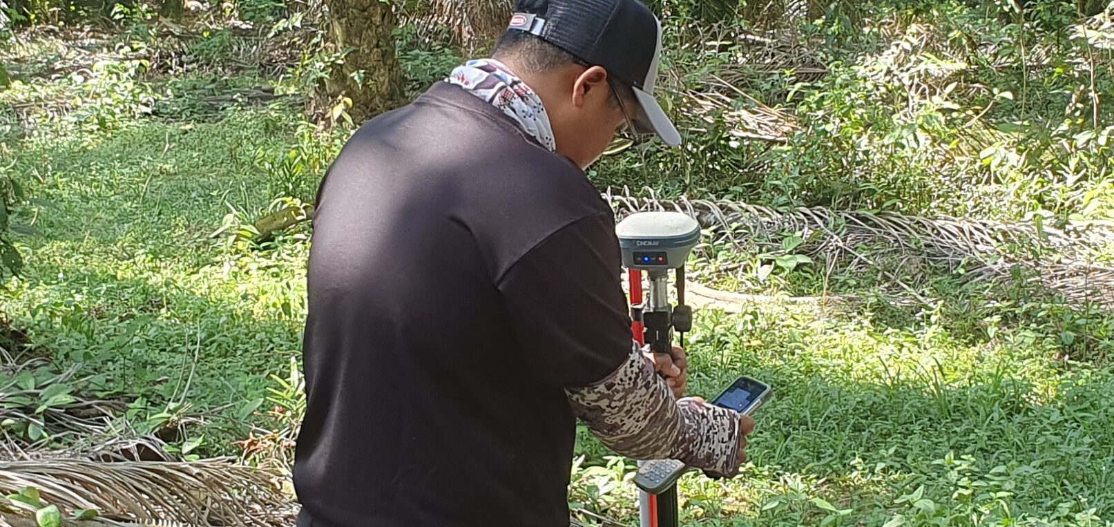
It was no walk in the park. Some of the corner points sat deep in uncultivated jungle terrain, while others dropped into steep valleys. The surveyors relied on high-tech GPS equipment and specialized gear to pinpoint the coordinates with absolute precision. Despite the rugged conditions, they shared that while the work could be grueling, they genuinely loved their craft.
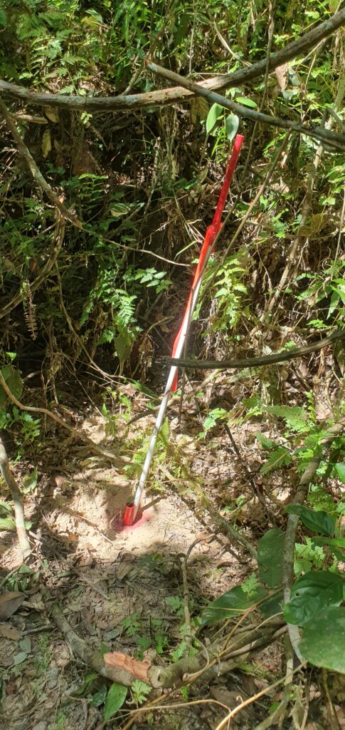
As promised, they successfully installed the four corner pickets for both lots. But standing there, my initial skepticism was proven right: the distance between the corners was vast, leaving the intermediate boundary trees completely ambiguous. When I asked the surveyors if they could mark the lines in between, they politely declined—it was outside their operational scope. They packed up their gear, dropped me back home, and the puzzle remained incomplete.
The Wisdom of Practical Experience
Later that day, Father, Dinesh, and I sat down to discuss the next move. I shared my frustration about the untraceable boundary lines between the corner pickets.
Dinesh simply smiled, repeating the very solution he had suggested during our first meeting: hire local workers, primarily from the Orang Asli community, to walk the perimeter and paint distinct markers on the trees. It would cost only a fraction of professional surveying fees and solve the problem instantly.
I immediately agreed and asked him to mobilize the workers as soon as they were available.
Reflecting on the process, I realized a valuable lesson. At the outset, my instinct had been to approach everything with strict, theoretical professionalism—trusting only certified surveyors with high-tech gear. But real-world land management often demands a blend of formal precision and gritty, practical local knowledge. Sometimes, a can of paint and a local expert will take you much further than a set of coordinates alone.